MagicWAYNE
## Summary Would you be open to an interactive extruded GeoJSON map as a ThreeUI Community component? The proposed component would render GeoJSON `Polygon` and `MultiPolygon` features as an interactive Three.js scene, with configurable extrusion, data columns, hover feedback, glow, camera behavior, and colors. This proposal is informed by an existing working project, but I am **not** proposing to merge or embed the entire application into ThreeUI. Existing reference: - Live demo: https://geojson-map-studio.vercel.app/ - Source project: https://github.com/MagicWAYNE/geojson-map-studio - Preview: https://raw.githubusercontent.com/MagicWAYNE/geojson-map-studio/main/preview.gif 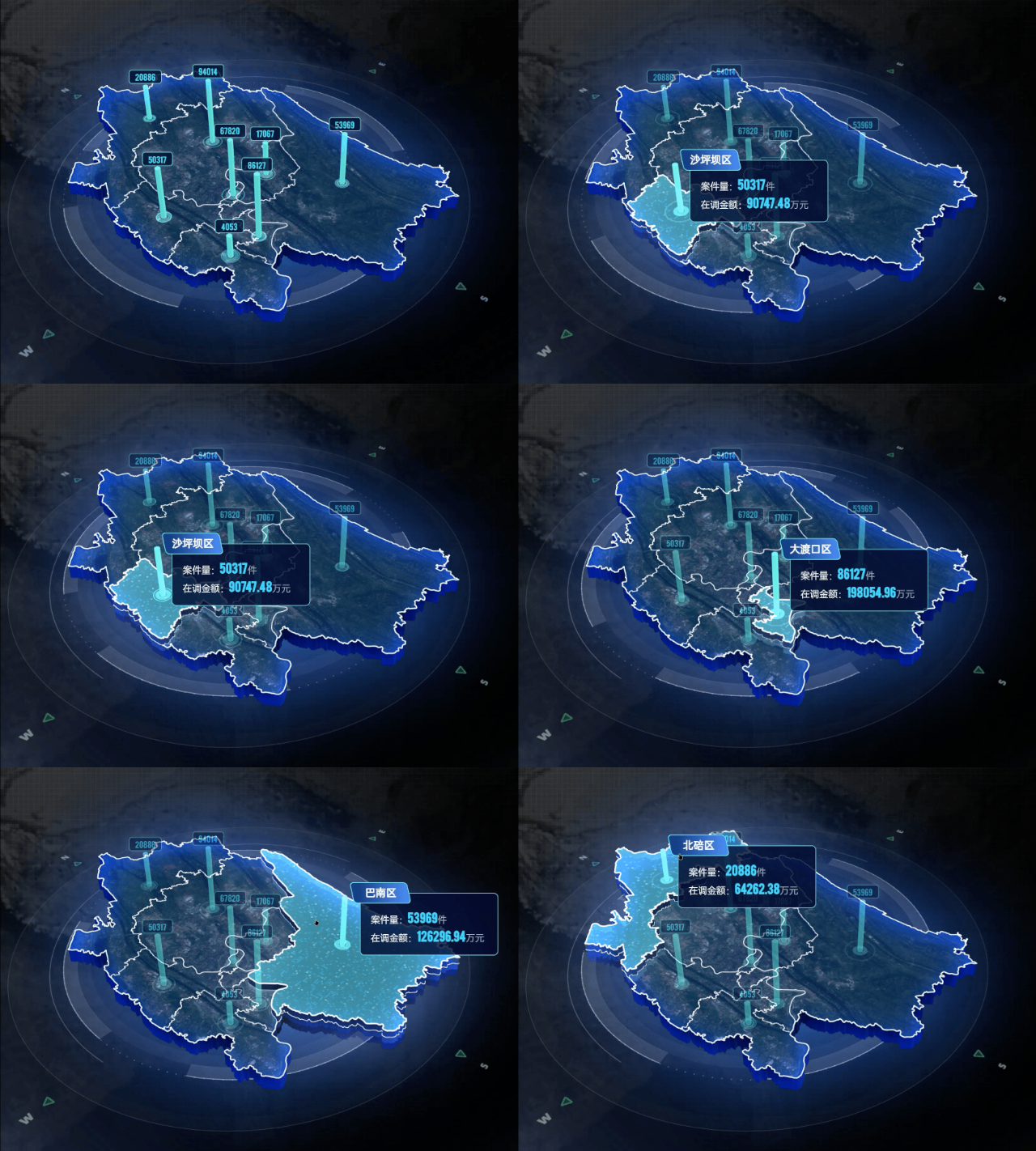 ## Proposed Community component Working name: `ExtrudedGeoJsonMap` The component would accept GeoJSON and optional regional metrics through props rather than including an authoring application or upload workflow. Possible API direction: - `geojson`: a GeoJSON `FeatureCollection` - `values`: optional values keyed by feature identifier - `extrusionDepth` and `elevationScale` - `topColor`, `sideColor`, and `glowColor` - `showDataBars` - `autoRotate` - `enableHover` - camera and interaction options Possible variants: 1. **Neon Regions** — extruded regions with cyan edge glow and hover elevation. 2. **Data Bars** — regional values represented as animated vertical columns. 3. **Wireframe Atlas** — a restrained monochrome/wireframe treatment suitable for hero sections and technical dashboards. ## Implementation boundaries I would extract only the reusable renderer and adapt it to ThreeUI conventions: - A framework-independent TypeScript/Three.js renderer. - A small React lifecycle wrapper compatible with the public ThreeUI package. - One WebGL context with complete resource cleanup. - Responsive sizing through `ResizeObserver`. - Visibility-aware animation and document visibility handling. - Reduced-motion support. - No runtime network requests. - No Vue, router, ECharts, IndexedDB, authoring panels, regional catalog, or upload workflow. - No third-party fonts, satellite imagery, administrative datasets, or inherited dashboard assets. - A small synthetic GeoJSON fixture for the default preview. - Only code and assets that can be contributed under the repository's MIT license. ## Why it may fit ThreeUI The reusable part is a visual Three.js component rather than a domain-specific map application. It could work as an interactive hero, dashboard background, or lightweight geographic data visualization while keeping the consumer-facing API focused and customizable. ## Contribution-path questions Before implementing the extraction, I would appreciate guidance on: 1. Does ThreeUI currently accept third-party Community component proposals? 2. Since the public Community repository is synchronized from a separate main project, should a component contribution target this public repository, or should the source first be reviewed for inclusion in the main catalog? 3. Would you prefer a small standalone React proof of concept before the package export, catalog metadata, controls, and variants are implemented? I am happy to keep the first version narrowly scoped and follow the repository's preferred component structure and review process.